
Down Days and Data: Why Crane Crews Are Measuring the Wind on Site
On a construction site, few things bring work to a halt faster than the wind.
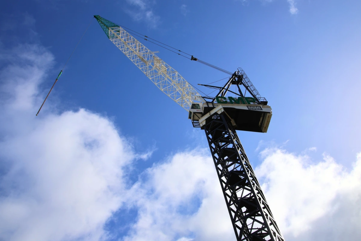
When gusts push past a crane’s limits, lifting stops. Deliveries back up, trades wait for materials and the programme starts to slip. Most contracts recognise this, allowing contractors to claim back days lost to bad weather.
But every claim day needs evidence. And for a growing number of New Zealand builders, that evidence now comes from a weather station on their own site.
“Our cranes are very temperamental to wind,” says Andrew Moore of CMP Construction. “We can’t lift products and therefore the site comes to a grinding halt if the wind exceeds the crane’s limits.”
Forecasting for Somewhere Else
Construction companies have traditionally relied on official data from NIWA (now part of Earth Sciences New Zealand) or the nearest public weather station to govern crane use and support their claims.
It’s independent and widely accepted. The catch is that it measures the wind at the station, not at the crane. And the two can be kilometres apart.
The site comes to a grinding halt if the wind exceeds the crane’s limits.
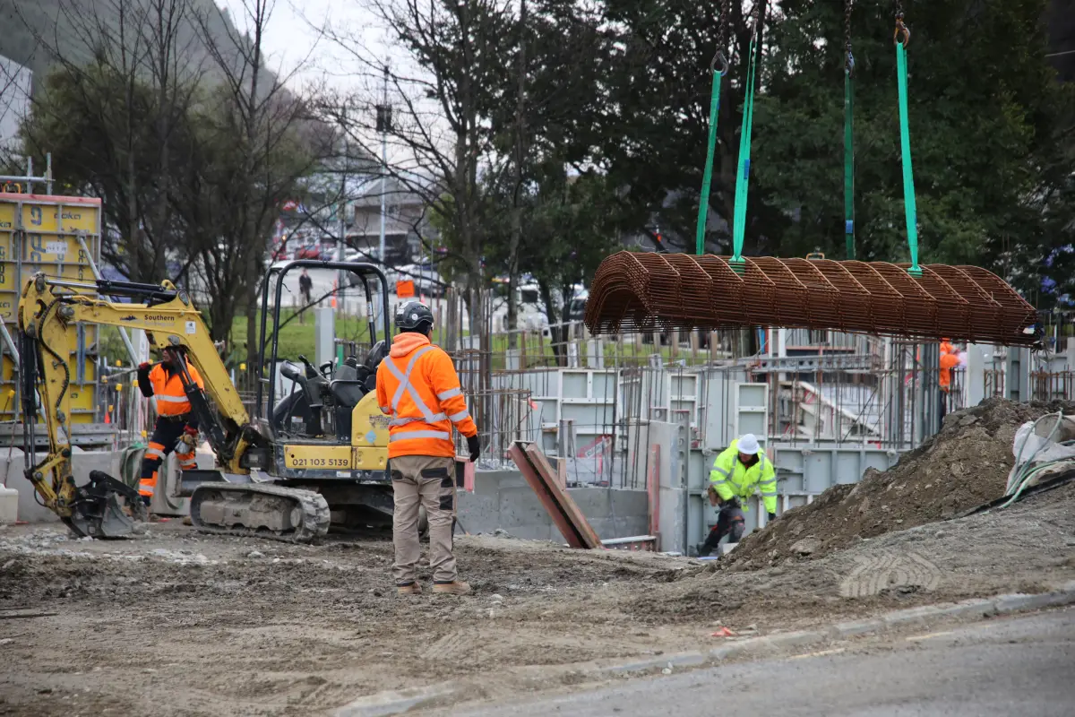
That’s why more contractors are adding weather stations to their site monitoring, says Adroit General Manager Guy Macpherson. On some projects, the wind record is used specifically to support claim days against crane down time.
“When you need to have the actual real data from your site, then you need to have a weather station on site to close the information loop.”
CMP knows this well. The company has a long track record in Wellington, a city where conditions can change completely from one side of the harbour to the other.
There, the default reference would be Wellington Airport. Moore points out that it “might be a totally different area from where the crane is located.”
With its own data, CMP can put the facts in front of the developer.
“It was too windy to work that day. Here’s the wind data. This is what the crane’s licensed to. We’re therefore eligible for an extension of time because the contract lets us do that.”
CMP also pairs the wind record with footage from its time-lapse cameras, showing not just how hard it blew, but that the site really was standing still.
It was too windy to work that day. We’re therefore eligible for an extension of time.
A Location With Its Own Climate
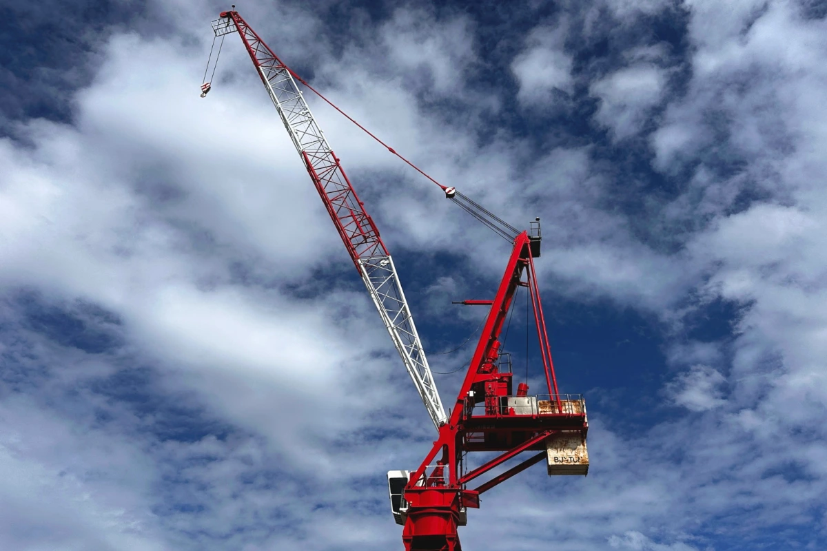
Auckland has its own microclimates too. A few years ago CMP was building on a clifftop property in Ōrākei, one of the windiest sites the company has worked on.
“We’ve never had our crane down with windage that much for any other project before,” Moore says. “It was eye-watering.”
The nearest reference data came from the Auckland Harbour Bridge, which couldn’t capture what a crane on an exposed clifftop was facing. CMP’s own readings could.
“We’ve actually since proven that it is one of the windiest sites, and it’s been confirmed by a number of meteorologists that it’s just a particularly windy spot.”
For Moore, that history is valuable in its own right. CMP back-costs every project to sharpen future pricing, and weather records are no different.
“Any form of data is good data. The key is to be able to use it and fall back on it when you’re required to do so.”
We’ve actually since proven that it is one of the windiest sites, and it’s been confirmed...
Wind Data Assists in Project Planning
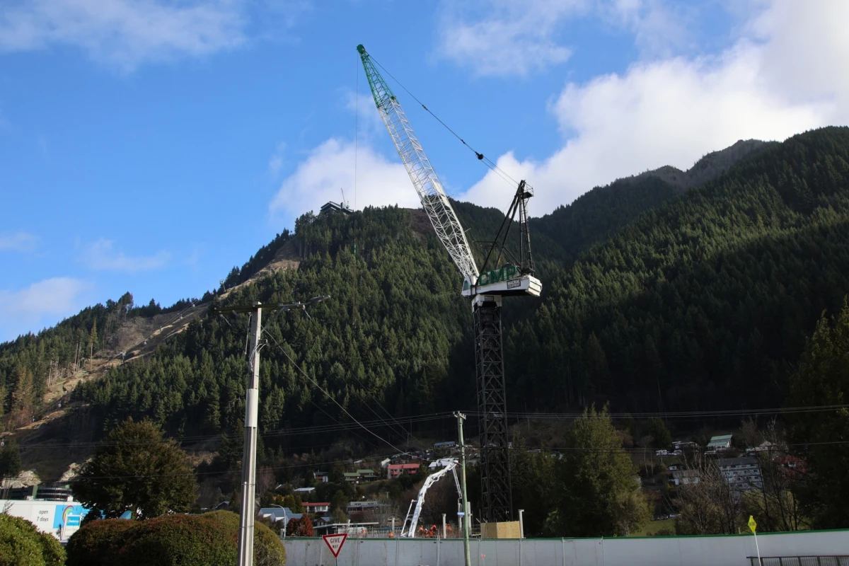
Another Adroit client, civil works business NZ Strong currently uses site weather data to manage crane work on its Ponsonby Road project. But it was a far bigger challenge: a major truss lift at Auckland International Airport where the weather station really proved its worth.
The lift faced some daunting statistics. No lifting in winds above 5 metres per second (about 18 km/h), with the truss hanging from a crane around 100 metres high for eight to nine hours.
“So, nowhere within eight to nine hours can the wind get above five metres a second,” says NZ Strong innovation manager Jimmy Corric.
Public weather data came from too far away to plan around with confidence. So the team set up an Adroit weather station and started measuring the gap. Each afternoon at four o’clock, they logged the forecast from a weather app and compared it with what the site was actually recording. A machine learning model was built to learn the difference.
“We can’t predict the weather, right? We’ve been trying to do that for years. But what we can do is predict the accuracy of the forecast.”
It’s a builder’s answer to a builder’s problem. And as Corric puts it, good planning is the best kind of health and safety: “Sometimes the best sign you’ve done something right is that no one really notices.”
We can’t predict the weather, right? But what we can do is predict the accuracy of the forecast.
A Record, Not Just a Reading
Most cranes already carry an anemometer. So why add another sensor?
Because the crane’s unit is there to protect the operator in the moment. It doesn’t keep a history.
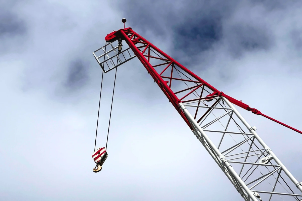
“The reason they put our weather stations on cranes is because we record the data,” Macpherson says. “So therefore it can be used for claim days, whereas the one in the crane can only be used for health and safety.”
Position matters too. Gusts at jib height can be very different from conditions on the ground, so a station mounted on the crane, or on a pole at a representative height, gives readings that reflect what the load will actually feel.
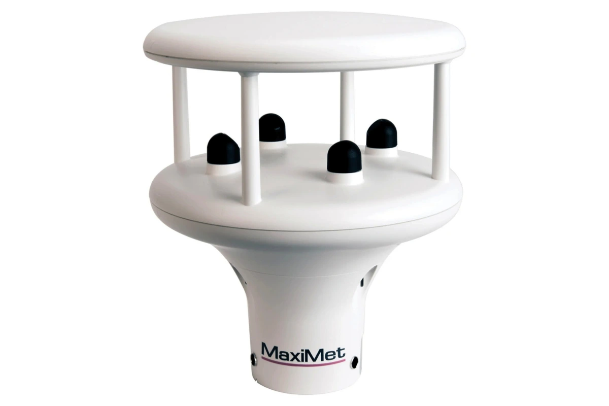
Adroit supplies weather stations from UK manufacturer Gill Instruments, including the compact MaxiMet range. Models can measure different combinations of wind, rainfall, temperature, humidity, pressure and solar radiation, so the station can be matched to the job. Some MaxiMet models also have a built-in compass to correct wind-direction readings as the crane turns.
Gill’s ultrasonic wind sensors have no moving parts to wear out, which keeps maintenance down on a busy site. Stations mount on a crane or a fixed pole, connect over the Cat-M1 cellular network, and can be bought or leased.
Data flows into the Adroit Platform, where authorised users can check live readings, receive alerts and look back through the history from a phone or computer. Weather sits alongside noise, dust and vibration data too, so wind direction can explain a dust reading, and rainfall can explain rising water levels around an excavation.
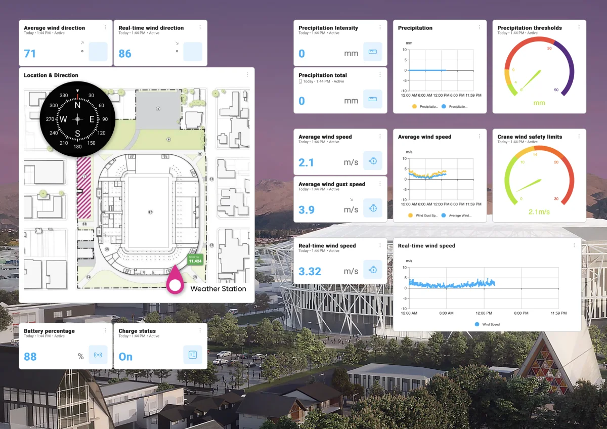
“It’s about having a complete picture of what’s happening on site,” Macpherson says.
NIWA and the nearest public station will always have their place. But when a lift, a programme or a claim day depends on the wind, the reading that counts is the one taken on your site.
To learn what the wind is really doing on your project, talk to the Adroit team about Gill Instruments weather stations, or see the full range here.
It’s about having a complete picture of what’s happening on site.