
Satellite Connectivity a Game Changer for Environmental Monitoring
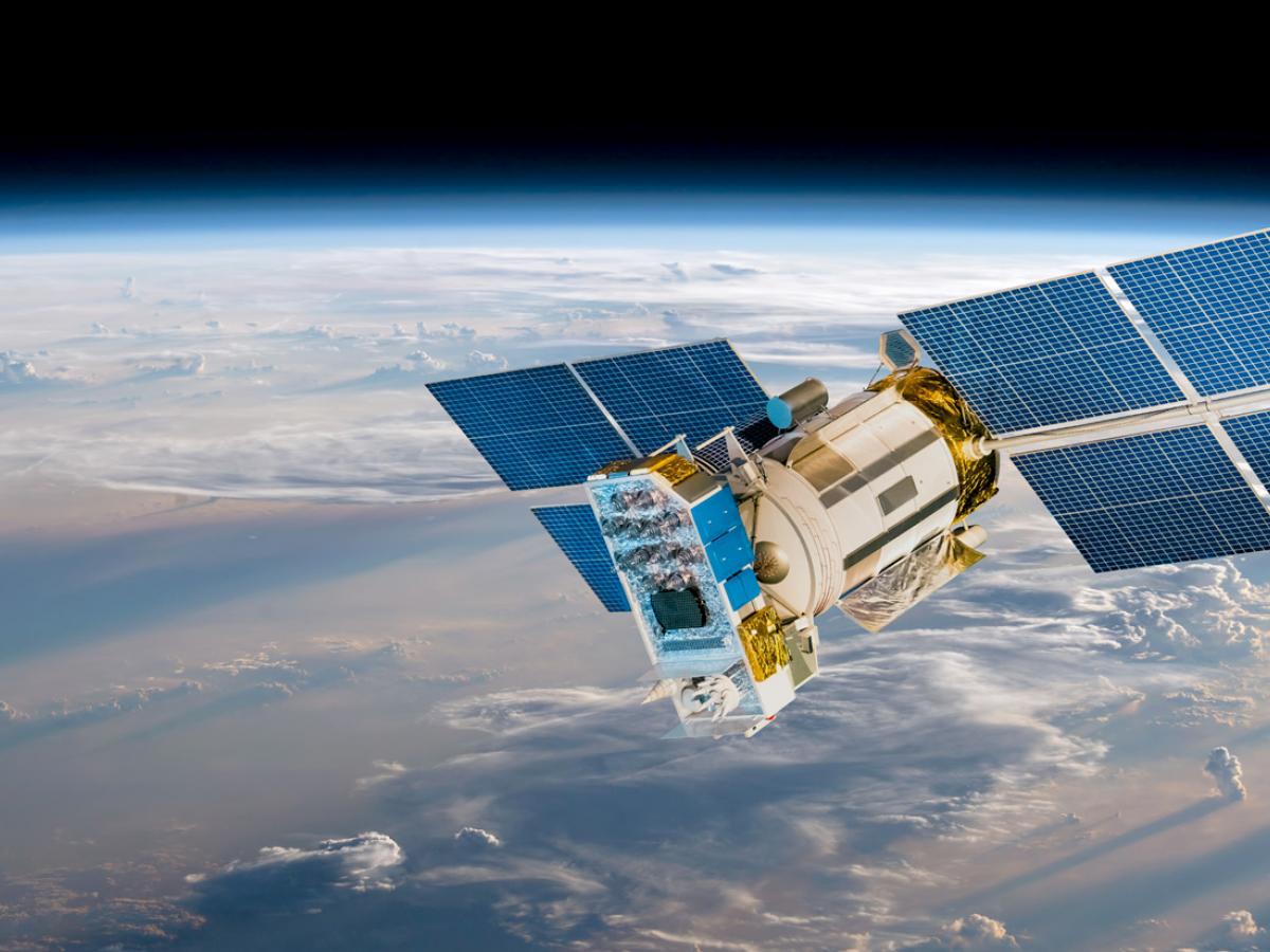
Understanding Iridium,
The Iridium satellite network comprises 66 low Earth orbit (LEO) satellites, orbiting at approximately 780 kilometres above the Earth’s surface, completing one orbit every 100 minutes. These satellites continuously relay signals from one to another, forming a network that blankets the entire Earth. Iridium’s unique constellation architecture makes it the only network that covers 100% of the planet. Satellites are cross-linked to provide reliable, low-latency, weather-resilient connections that enable communication anywhere in the world. To access the network, Iridium-compatible devices communicate with the nearest overhead satellite. The signal is then relayed through the satellite constellation until it reaches its destination. Because they’re low Earth orbit satellites, the distance the signal needs to cover is much shorter and therefore faster and more reliable in the remotest corners of New Zealand, even after or during an environmental or man-made catastrophe.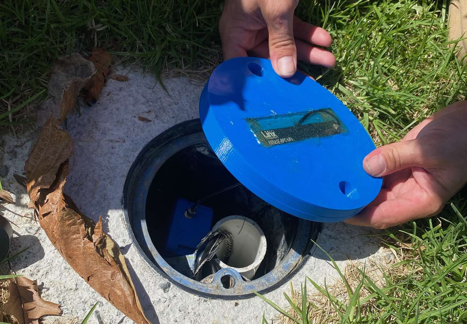
Typical Uses:
Adroit is a leader in real-time digital environmental sensor technology utilising a broad range of equipment for all kinds of applications.
Typical uses include:
- Monitoring of geotechnical factors such as slips, unstable land, tailings, dams and stop banks.
- Monitoring hydrological factors such as groundwater levels, flow rates and surface water including flood detection.
- Weather stations including rain gauges.
Environmental regulations and compliance is becoming increasingly stringent, with greater emphasis on data to prove compliance. In the past it could take days to access a remote site, download data, or collect samples and analyse them for reporting. But with continuous data monitoring from even the most distant or inaccessible locations, the information is available almost immediately.
Typical Requirements
Requirements common to most satellite-enabled environmental monitoring installations include:
- Reliable real-time data of key monitoring parameters in areas without cellular coverage
- A choice of Iridium satellite or cellular connectivity, or both as required
- Devices that can use solar power or battery in case of outages
- No need for base stations, cabling or line-of-sight communication
- Scalable solutions which can include additional or complementary sensors
- Able to be configured for alerts or warnings if thresholds are exceeded
- Minimal requirement for maintenance
- Requirement to monitor key infrastructure and assets even when cellular communication fails
A key consideration driving most projects is the human factor: minimising the amount of time employees or contractors need to spend in the field, or on the road to set up, maintain or monitor the installation.
Trained staff able to measure and monitor environmental parameters are valuable enough, without using their time travelling to remote locations, and putting them in the way of unnecessary risks.
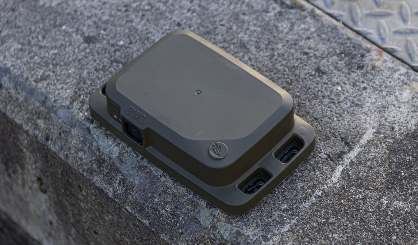
Satellite Ready Devices
Adroit can connect any of their existing range of sensors to the Iridium Satellite Network, using EWS Switch devices, which come out of the box ready to connect. Adroit is the New Zealand technology partner and distributor for EWS, an Australian company renowned for its effective and rugged sensors developed for mining operations in Australia and used extensively by the likes of Rio Tinto. EWS has a strong track record for environmental sensors that can operate in all kinds of weather extremes and in locations where human access is difficult, providing remote monitoring for critical geotechnical and worksite applications such as rail embankments, excavations and landslips. Having cut their teeth in geological and hydrological sensors, EWS products such as vibrating wire piezometer sensors and tiltmeters have proven themselves to be accurate and fit for purpose in the harshest environments. EWS Tiltmeters were the first in the world to come standard with a sim card to allow either cellular or satellite communication.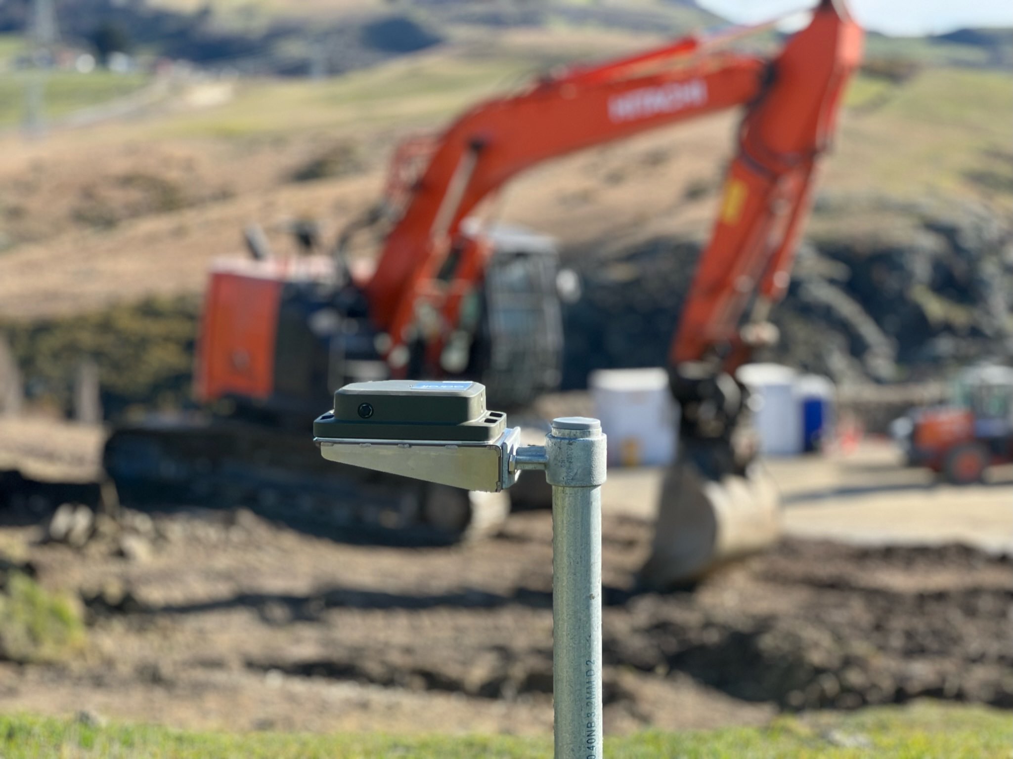
Iridium Installation Case Study
In 2023 Adroit worked with Waka Kotahi NZ Transport Agency (NZTA) on an installation to monitor a slow-moving slip threatening State Highway 8 in the Lower South Island.
Five tiltmeters were installed on poles in and around the slip area, in areas of both ‘known’ and ‘unknown’ stability – to transmit highly accurate rotational data, detecting land movement or slips as they occur, or to provide early warning that one may be starting.
Because of poor IoT network coverage in the remote location, EWS satellite-capable tiltmeters were used, with data uploading to the Adroit Platform utilising the Iridium Satellite Network.
A significant benefit of the EWS units is that each device communicates independently with the Iridium Satellite network, so they don’t need a base station. This means the solution is scalable and there are no single points of failure such as a base station. And with a five-year expected battery life, they can operate through any kind of natural disaster when normal communications are lost.
The sensors upload data to the Adroit Platform where it can be displayed on any smart device for visualisation or reporting, or uploaded via an API into other client applications.
Looking Ahead
Iridium satellite connectivity is well proven in New Zealand and Adroit is now expanding the number and type of devices accessing this network.
While satellite installations for environmental monitoring are still relatively specialised, rapid improvements in the technology and decreasing costs will see them become ubiquitous for any remote location.
For more information on Adroit satellite connectivity: